
AI weather decision support that cross-checks every product on your route.
Analysis that follows your route and altitude: charts, TAFs, winds, PIREPs and TFRs together, with four-model forecast consensus where official products run out, and a clear GO / NO-GO read against your personal minimums. Supplemental to your official briefing, always.
Safety notice
FlightWeatherCheck is for supplemental briefing support only and does not replace an official FAA weather briefing, NOTAM/TFR review, or pilot judgment.
Awareness assembled per route
- METAR
- TAF
- PIREP
- AIRMET
- SIGMET
- AFD
- TFR
The essential second opinion
Engineered for pilots, dispatchers, and weather-minded passengers.
An extra status check
Cross-reference official data with clear flight-category indicators — VFR, MVFR, IFR, LIFR — plus ceiling, visibility and crosswind reads against the thresholds you set.
AI-assisted preflight analysis
Plan a route and see the weather synthesized into plain-language situational awareness — trends and hazards surfaced across your legs.
- AI-driven trend detection
- Automated report cross-checks
- Supplemental risk highlighting
* Supplemental tool only. Not for primary navigation.
Interactive briefing insights
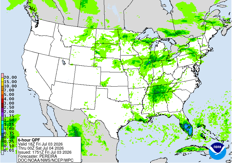
See how the briefing turns raw meteorological data into an actionable, dispatch-style read for your route. Below is a live sample.
View the full sample briefing
The complete analysis for a KMSP → KMSN → KOSH run into EAA AirVenture — the arrival TFR, wildfire smoke, and a closing storm window, resolved into a CONDITIONAL GO with hard stops. A convective decision example is one click away inside.
Open briefing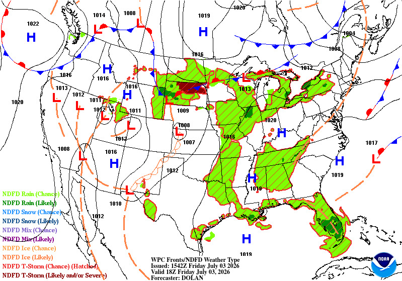
Create your own briefings — free to start.
No monthly briefing limit during beta — subject to fair use. No card required.
Situational data ingestion
The same official sources you already use — parsed, visualized, and cross-checked so nothing important slips past on a busy preflight.
NOAA & FAA cross-reference
METAR, TAF, PIREP, AIRMET, SIGMET, AFD and TFR data pulled together and rendered for fast scanning across your whole route — in the US, Canada, and Mexico.
Route-based, minimums-aware
Origin, destination and altitude drive the analysis, judged against the personal minimums you configure — not a generic one-size read.
Decision support, not autopilot
A clear GO / MARGINAL / NO-GO summary to support pilot judgment. Always a supplement to — never a replacement for — an official briefing.
[INIT] Cross-checking KLAX METAR…
[DATA] KLAX 201853Z 25011KT 10SM FEW018 21/14 A2992
>>> SUPPLEMENTAL ANALYSIS: XWIND NOMINAL
>>> RESULT: CONFIRMS OFFICIAL FORECAST
[NOTICE] Supplemental use only
_
Powered by official aviation weather and airspace sources
Every briefing cross-checks forecasts, observations, hazards, and restrictions across multiple official products.
- FAATFRs & airspace
- NOAA / NWSforecasts & discussions
- AWCSIGMETs, G-AIRMETs, CWAs
- METARscurrent airport conditions
- TAFsterminal forecasts
- PIREPsreal pilot reports
- Winds Aloftcruise-level wind analysis
- NBMmodel-blend guidance
- SPCconvective outlooks
- Model consensusECMWF · GFS · ICON · GEM
- GOES satellitecloud structure
- ECCCCanadian alerts & wildfire smoke
- FAA NASRairports, runways, facilities
Detail Oriented Accuracy Focused AI Analysis
Cross-checked, not summarized
Every product, one pictureTAFs against PIREPs, winds against terrain, TFRs against your departure window — the AI reads every product together for your specific route and altitude, and writes the briefing with its reasoning shown.
Numbers you can verify
Restated, never inventedEvery altitude, time, and value is restated from the official data. What the data can't answer is stated as unknown rather than guessed — and the raw products ride along in every report so you can check the work.
Every hazard, cross-checked
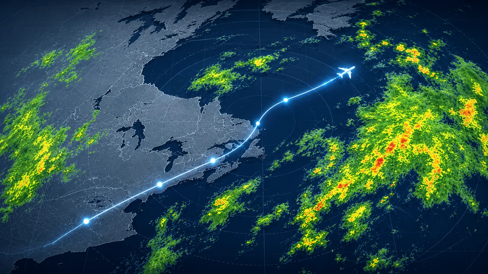
Individual products provide pieces of the picture. FlightWeatherCheck compares them against your route, altitude, and timing before presenting the result.
Winds Aloft
Data read
Official FB forecasts; four-model consensus beyond their window
Cross-check
Head, tail and crosswind components are computed per route station against your actual course, with model agreement explicitly labeled.
Ceiling & Visibility
Data read
METARs, TAFs, NBM guidance, multi-model consensus
Cross-check
Trends are read against the TAF group valid at your route ETA. Conditions the data cannot determine are stated as non-determinable, never guessed.
Turbulence
Data read
GTG guidance, G-AIRMETs, PIREPs
Cross-check
Pilot reports are tagged against your cruise altitude band, with ridge-level wind reference applied over terrain.
Icing
Data read
FIP guidance, G-AIRMETs, PIREPs
Cross-check
The computed freezing level is intersected with the interpolated temperature at your planned cruise altitude.
Convection
Data read
Convective SIGMETs, SPC outlooks, NBM thunder guidance, radar
Cross-check
Timing is evaluated against your departure window. Probability ranges stay separate and labeled, and SPC uncertainty is stated as uncertainty.
Smoke
Data read
Forecast plume data, satellite analysis, surface observations
Cross-check
Smoke coverage is intersected with your planned route, with surface impact separated from plume conditions aloft.
Multi-model consensus
Beyond the ~30-hour window of official aviation forecast products, and on non-US legs, forecasts are compared across ECMWF, GFS, ICON, and GEM, always with an explicit HIGH / MEDIUM / LOW agreement level.
Route-aware weather selection, built for North America
FlightWeatherCheck doesn't hand every route the same US chart stack. A region-aware selection engine classifies each airport on your route and assembles the products that actually depict your airspace — across the US, Canada, and Mexico.
Mexico — purpose-built route coverage
Fly MMGL → MMMM and the engine switches to Mexico-covering products automatically: GOES Mexico-sector satellite, continental surface analysis, METARs and TAFs, and international SIGMETs for Mexican FIRs. US-only products that can't depict your route are filtered out or explicitly labeled reference-only — never passed off as coverage. Airspace and NOTAM checks remain with SENEAM.
Selected for a Mexico route
- GOES MEX SAT
- SFC ANALYSIS
- INTL SIGMET
- METAR / TAF
United States
Full product suiteCharts, TAFs, METARs, winds aloft, G-AIRMETs, icing and turbulence forecasts, PIREPs, TFRs — the complete NOAA/FAA stack, selected per route and altitude.
Canada
Same engine, Canadian sectorsCanadian routes get GOES Canada-sector satellite, surface analysis, METARs, TAFs, and international SIGMETs for Canadian FIRs — plus direct links to NAV CANADA flight planning for GFA, NOTAMs, and winds.
Brief the route you actually filed
Export the flight plan from your EFB and upload it. The briefing follows your real routing — every fix, every airway leg — instead of a straight line between airports.
Upload it, don't retype it
You already built the route in ForeFlight. Send the file to FlightWeatherCheck and every waypoint comes with it — no re-entering fixes by hand.
Confirm before anything runs
You see exactly how the file was read — every point, in order, with the real distance — and confirm it before a briefing is generated. Nothing is guessed.
Analysis follows the corridor
Weather, terrain, TFRs, winds and arrival times all track your filed routing, then the finished report hands the route back to ForeFlight in a tap.
Uses the standard Garmin FPL (.fpl) format. If your app exports it and something doesn't work, tell us.
22 route points · 363 nm along the planned path
- O22
- HOFED
- TURLO
- FRAME
- EHF
- LHS
- SAUGS
- KIMMO
- BERRI
- DARTS
- DODGR
- SLI
- MIDDS
- BALBO
- KRAUZ
- DANAH
- KELPS
- OCN
- HURSI
- CARIF
- MZB
- KMYF
[OK] Altitude 8,000 ft read from the plan
ForeFlight is a trademark of ForeFlight, LLC. FlightWeatherCheck is not affiliated with, endorsed by, or sponsored by ForeFlight.
Why our AI Framework is Better
FlightWeatherCheck does not ask AI to guess at critical flight facts. Source data, route geometry, timing, terrain, personal minimums, and other measurable conditions are checked independently before the AI explains what they mean for your flight.
Source-backed
Every factual claim traces back to a named weather or aviation product.
Deterministically checked
Timing, route intersections, terrain, TFR relevance, wind components, and personal-limit checks are calculated by software rather than left to the model.
Uncertainty is explicit
When the available data cannot support a conclusion, the briefing says so instead of filling in the gap.
1,500+ checks run against every briefing
400+ fixes documented and regression-tested
1,200+ briefings used to improve the system, across 200+ pilots
Correctness over confidence
A briefing that says "not determinable" is doing its job. This tool values being right over sounding right, and treats your go or no-go decision as the product. Not engagement, not upsells.
When the data is not enough, we say so
If the available sources cannot support an answer, FlightWeatherCheck tells you what is missing and what should be verified before departure.
Every reported issue becomes a regression test
When a pilot finds something wrong, we document it, fix it, and add a permanent test so the same issue cannot silently return.
- ✓Source data verified
- ✓Personal minimums checked
- ✓Terrain corridor checked
- ✓TFR relevance checked
- ✓Timing relationships verified
- ✓No conflicting conclusions detected
Ready for briefing
Every briefing is checked before it is shown to you.
Frequently asked questions
How is this product different from the others?
Most tools show you weather and leave the interpretation to you. FlightWeatherCheck reads every official product for your specific route and altitude and writes the briefing itself: a clear advisory verdict (GO, MARGINAL GO, CONDITIONAL GO, or NO-GO) with a confidence grade, what drives the call, and what would change it. Every number comes from official FAA and NWS data, and the raw products ride along in the report so you can check its work.
Is this an official weather briefing?
No. FlightWeatherCheck is an advisory planning tool, and every verdict is advisory — the final go/no-go decision always rests with the pilot in command. For a regulatory briefing of record, use Flight Service (1800wxbrief.com) or your national briefing service.
Where does the data come from?
Official sources: METARs, TAFs, G-AIRMETs, convective SIGMETs, PIREPs, winds aloft, TFRs from tfr.faa.gov, FAA sectional charts, NEXRAD radar, Chart Supplement facility data, NWS forecast discussions, and NOAA/Environment Canada wildfire-smoke products. The AI analyzes; the official data stays authoritative and visible in every report.
Can I trust an AI with weather?
The AI is built to never invent numbers — altitudes, times, and values are restated from the underlying data, hazards it cannot verify are stated as unknowns, and confidence is graded honestly. The complete raw data is included in every report, so nothing asks for blind trust.
How far ahead can I brief?
Up to 7 days before departure. Within about 24 hours of takeoff you get TAF-grade detail; further out, the briefing leans on extended forecast guidance and lowers its stated confidence accordingly.
What does it cost?
FlightWeatherCheck is free during the public beta — every account gets a monthly briefing allowance, plus features like briefing Q&A and altitude comparison at no charge. Paid plans arrive after beta, and today's beta users will get founder benefits when they do.
Can I use my ForeFlight route?
Yes — upload a .fpl route file and the briefing follows your actual planned route, including the controlled-airspace check along your track. Routes can also be entered as airports with up to six waypoints.
Enhance your preflight routine.
Add an AI-assisted second opinion to the workflow you already trust. Start free and see the difference before your next flight.
Supplemental tool only // not for primary navigation